
.jpg "Rain to continue in Hai Duong until June 10")
.jpg "Rainy weather likely to continue in Hai Duong this week")


Gửi bình luận
Hai Duong province is forecast to continue experiencing showers and thunderstorms, mostly in the late afternoon and evening from now until June 29.
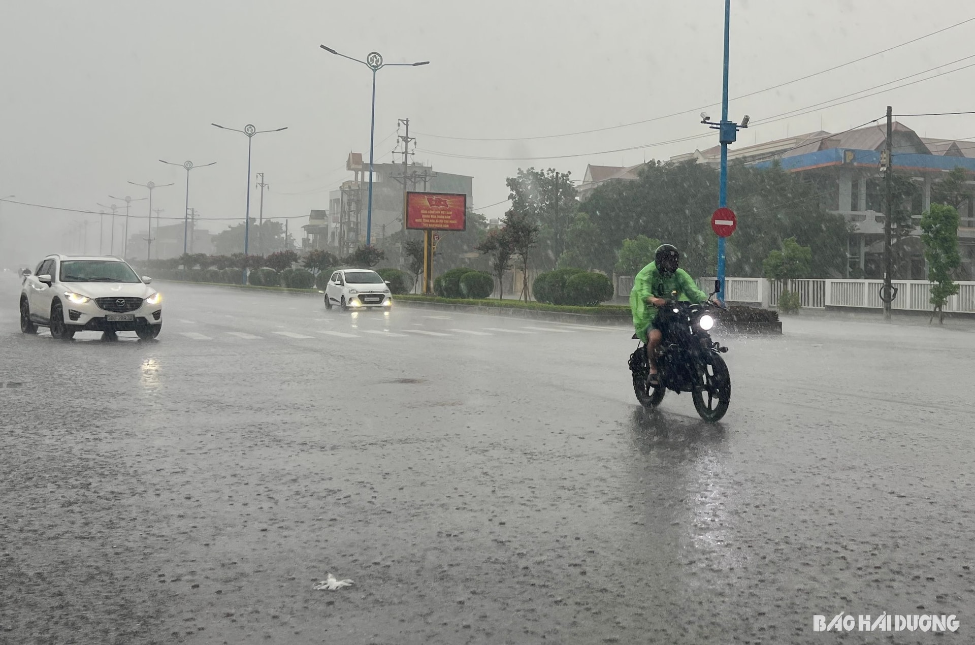
A compressed trough positioned over northern Vietnam combined with wind convergence at an altitude of 5,000 m will result in cloudy skies in Hai Duong province from the night of June 22 to June 23, forecast the provincial Hydrometeorological Station.
The province is expected to see showers and thunderstorms in the late afternoon and evening, with southeastern winds at level 2 and daytime temperatures ranging from 26 to 32 degrees Celsius.
Between June 24 and 27, the western low-pressure zone is projected to redevelop. During this period, Hai Duong will see sunny weather, with some areas experiencing hot conditions and temperatures peaking at 35 degrees Celsius.
Scattered showers and thunderstorms may occur in the late afternoon, accompanied by southeastern winds at level 2.
On June 28 and 29, wind convergence is likely to reestablish itself over northern Vietnam before weakening again, making the province cloudy, with sunny conditions by day and showers and thunderstorms by night.
From June 30 to July 2, the western low-pressure zone is predicted to strengthen again. During this period, Hai Duong will see variable cloudiness, no rain, and sunny days, with daytime temperatures ranging from 26 to 34 degrees Celsius.
The provincial Hydrometeorological Station has warned that during thunderstorms, there is a risk of whirlwinds, lightning, hail, and strong gusty winds.
Hot and sunny days may increase the likelihood of fires and explosions due to high electricity usage and low air humidity.
There is also a high risk of forest fires, dehydration, heat exhaustion, and heatstroke caused by prolonged exposure to high temperatures.
TIEN MANH